Natural resource management system
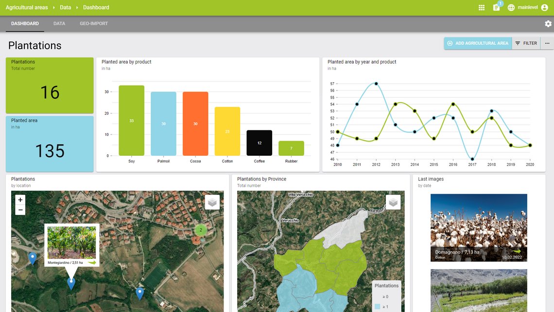
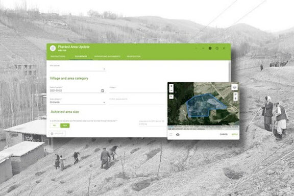
GIS features allow for collecting, mapping and calculating of geodata in reforested or agricultural areas
Documents such as GPS-tagged images and reports are stored to enrich the collected data
Approval workflows enable M&E officers to validate data entered by external partners
Tailored user roles enable internal staff and partners to access, enter and analyse the data they need

Related Projects
